Topic
Intimate Cartographies
The project maps vernacular knowledge production and memorialisation of the Jewish and Romani Holocaust in Poland, drawing on critical cartography and social anthropology and using commonly undervalued sources such as hand-drawn maps.
Intimate Cartographies: Mapping the Holocaust at the Grassroots Level
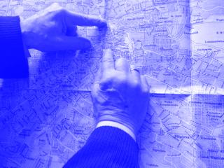
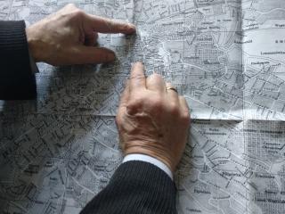
»Intimate Cartographies« focuses on maps drawn, adjusted or used by survivors and eyewitnesses of the Jewish and Romani Holocaust and traces the numerous roles played by these documents in the act of bearing witness. Firstly, the project investigates cartography as a colonial practice towards Eastern Europe before and during WW2, and in postwar representations of a post-genocidal »terra incognita«. Secondly, it follows the grassroots attempts to document the topography of ghettos and camps by their inmates during the Holocaust and examines postwar uses of maps in war trials and investigations. Moreover, it explores how maps were used by the survivors to remember their »tender geographies« of the spaces in Eastern Europe that were irreversibly lost to them. Finally, it traces vernacular efforts to map and memorialise the genocide and uncovers mappings of the Holocaust made by its neighbours, who used handmade maps, walks, and gestures to remember what happened in their villages and towns. By thinking of maps as testimonies, »Intimate Cartographies« offers a fresh look on spatial practices and affects in the aftermath of historical violence and pays tribute to the history and geography of a specific space, for long othered and stereotyped in Western contexts.